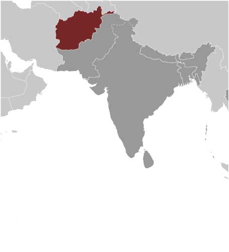
AFGHANISTAN
Home > Countries of Asia > Afghanistan
Borders: China | Iran | Pakistan | Tajikistan | Turkmenistan | Uzbekistan
Main facts about the geography of Afghanistan
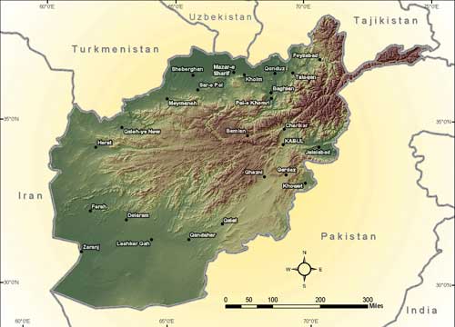
- Afghanistan is landlocked and mostly consists of mountains and deserts
- Hindu Kush mountains are the dominant geographic feature and divide the land
- The climate is mostly dry, with hot summers and cold winters
- The West, Southwest, and Northern areas are plains and lowlands
- The East, Northeast, and Central areas are mountainous highlands
- The borders with Pakistan, India, China, and Tajikistan have barrier mountains
- The borders with Uzbekistan, Turkmenistan, and Iran do not have barrier mountains
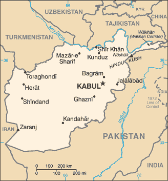
Afghanistan is located right along trade and invasion paths, and has been considered a sort of “crossroad” of Asia. Due to its pivotal location, the population is full of different cultures and ethnicities. Although you will mostly find Afghanistan listed within the Central Asia region, it shares a lot of history with South Asia, because most of the invasions of South Asia and India have historically come through Afghanistan. In modern history, the area of Afghanistan has been caught between British and Russian control, and they created the Durand Line Agreement in 1893 to establish the border with Pakistan.
Agriculture dominates the economy, with approximately 80%+ of the population dependant on revenue from agricultural activities. Some of the primary crops are wheat, corn, rice, barley, and nuts. However, irrigation is a problem and the agricultural industry needs snowy winters and rainy springs to help out the farmers.
Transportation infrastructure in the landlocked country is a problem, partly because there aren’t any railroads. The Oxus River is able to facilitate navigation and provide traffic for barges.
The country does have sufficient natural resources, including an abundance of natural gas, which used to make up over half of Afghanistan’s exports in the 1980s. Other natural resources include petroleum, coal, copper, lead, zinc, barites, sulfur, salt, iron ore, chromite, and talc.
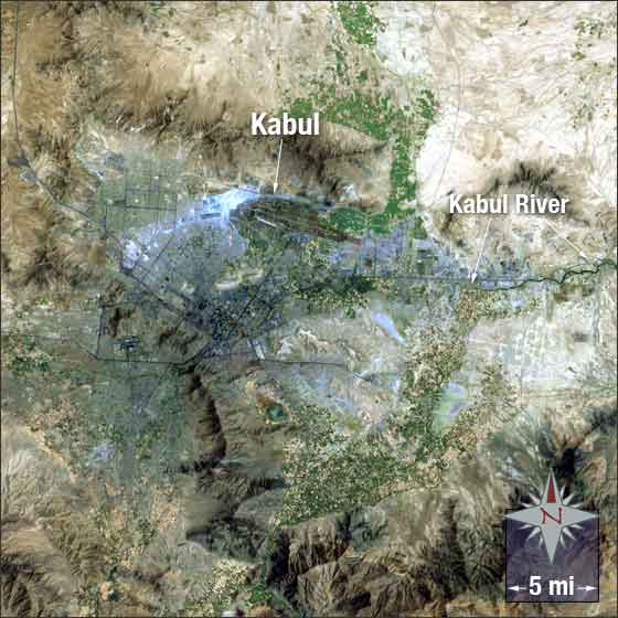
In this image of Kabul (Afghanistan’s biggest city) vegetation is green, mountains are brown, and the city itself is silver
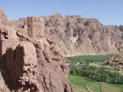
Shahr-i-Gholghola, AKA City of Screams, a historic site in Central Afghanistan
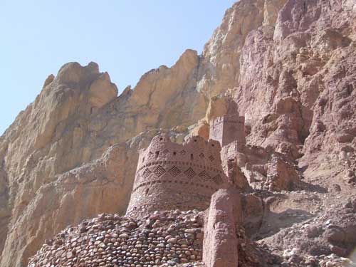
Shahr-i-Zohok, AKA Red City, in Central Afghanistan
The Large Buddha caves in Central Afghanistan
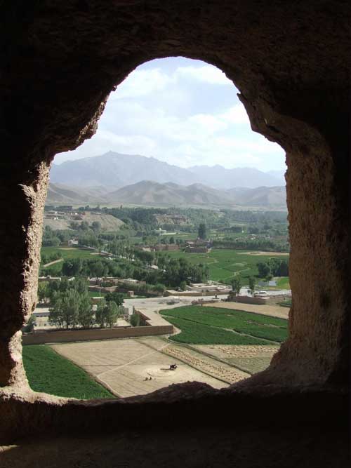
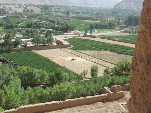
More scenery from the Large Buddha caves in Central Afghanistan
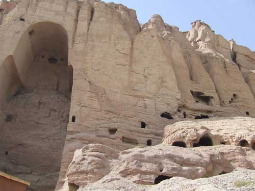
The outside of the Large Buddha caves in Central Afghanistan
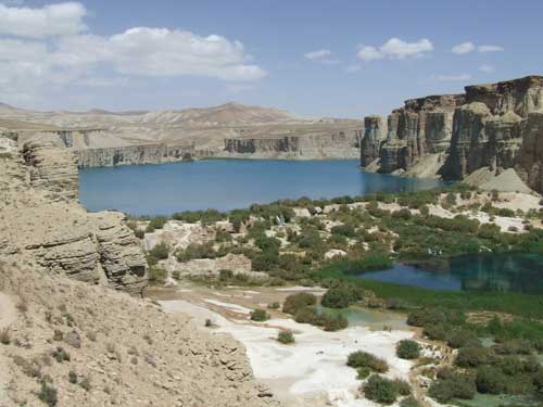
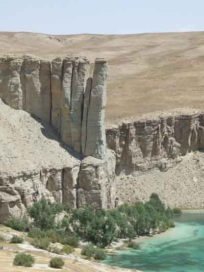
Band-e-Amir, a national park in Central Afghanistan
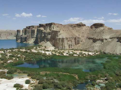
The Bamyan lakes in Central Afghanistan
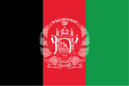
The Afghanistan Flag
