IRAN
Home > Countries of Asia > Iran
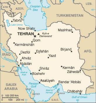
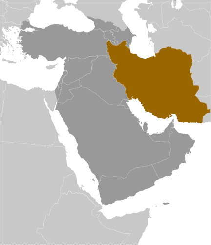
Borders: Iraq | Turkey | Azerbaijan | Armenia | Turkmenistan | Afghanistan | Pakistan
Main facts about the geography of Iran
- Iran is almost exclusively mountains
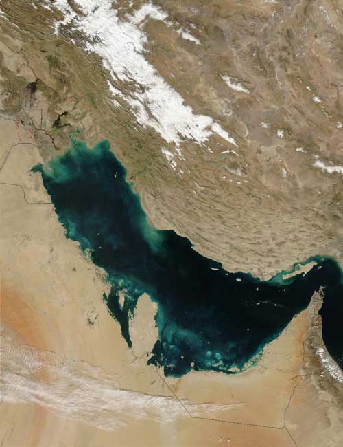
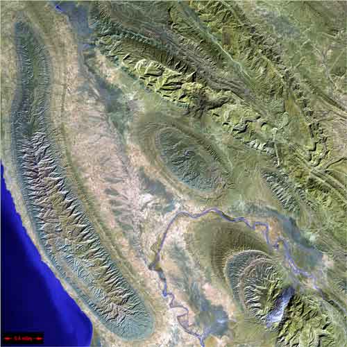
- Zagros Mountains run down the Western side beside the Persian Gulf
- Mount Damavand is the highest mountain in the country
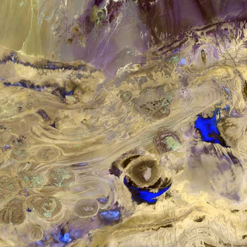
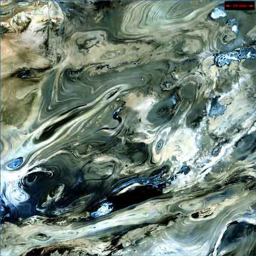
- The interior of the mountains features the Iranian Plateau and two deserts: Dasht-e Kavir and Dasht-e Lut
- Water borders are the Gulf of Oman, Persian Gulf, and Caspian Sea
- No large rivers
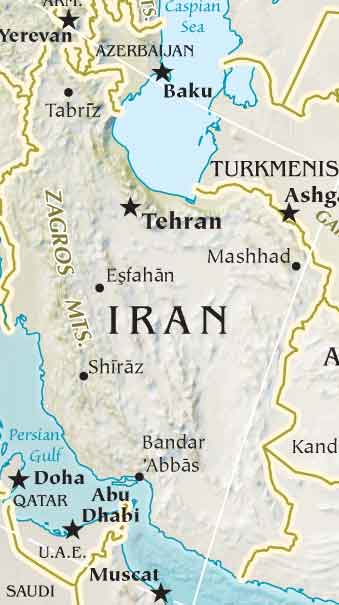
Iran is simply full of mountains, and the only two areas where the elevation is low are the Khuzestan Plain off the Persian Gulf and the Caspian Sea plain up near the Caspian Sea. Iran has a lot of borderline with various countries, including Iraq, Turkey, Armenia, Azerbaijan, Turkmenistan, Uzbekistan, Tajikistan, China, Afghanistan, and Pakistan.
