CHINA
Home > Countries of Asia > China
Borders: Hong Kong | North Korea | Taiwan | Mongolia | Russia | Kazakhstan | Kyrgyzstan | Tajikistan | Afghanistan | Pakistan | India | Nepal | Bhutan | Myanmar-Burma | Laos | Vietnam
Main facts about the geography of China
- Western half is not very populated; Eastern half is very heavily populated
- Inner China is naturally protected by natural barriers on all sides
- Himalayas, Kunln, Tian Shan, and Altai mountains all protect the West
- Tibetan Plateau fills up the sparsely populated West
- Gobi and Taklamakan Deserts form barriers to the North and Northwest
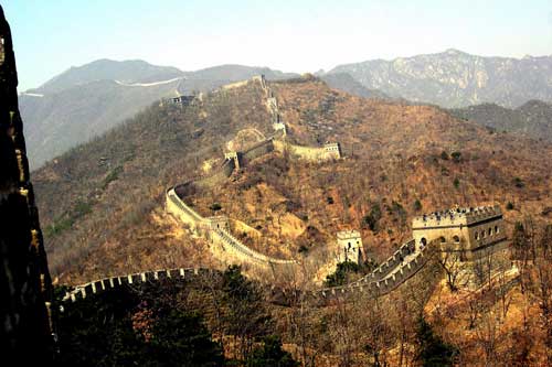
- Great Wall of China lies below the Gobi Desert
- Yellow and Yangtze Rivers lie in the East

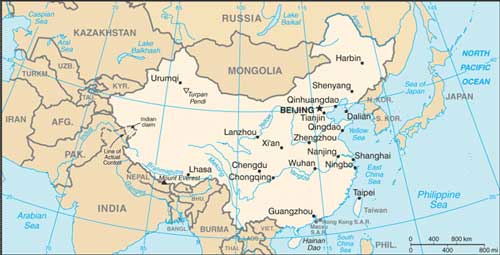
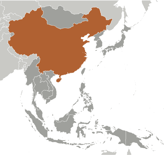
China includes a wide variety of geographical features – plains, plateaus, deserts, mountains, and coastlines. This variation allows for a lot of potential in the industrial and agricultural sectors of the country. Throughout history, part of the empire’s ability to protect its land has been due to the natural barriers that form on all sides. The Tibetan Plateau that makes up so much of the sparsely populated Western region is perhaps the largest and highest plateau on Earth, with numerous mountain ranges surrounding it, such as the Himalayas, Kunlun, Tian Shan, and the Qinling.
The United States and China are roughly the same size, although some sources claim China is larger when including other disputed territories. Both countries are approximately 3,000 miles wide and also lie around the same latitude.
The Eastern half consists of plains whereas the Western half consists of higher elevation. The East is very fertile land that sustains most of the population and the Southeastern part includes increasingly subtropical climates as it connects into Southeast Asia. The Western half includes an almost bipolar mix of highs, lows, and areas full of natural resources, especially around the Tian Shan Mountains in the Northwest.
China includes major rivers in the East, the Yellow and the Yangtze. In addition, numerous important rivers to Southeast Asia flow down from the mountains of China. Having access to so much water has been an important key to sustaining the massive population.
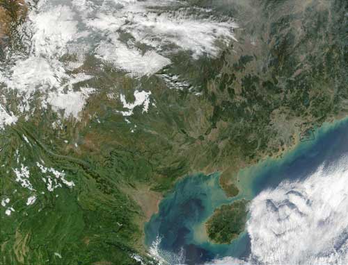
Here’s a satellite view of Southern China and portions of Southeast Asia
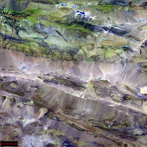
A section of transitional land in China between mountains and deserts
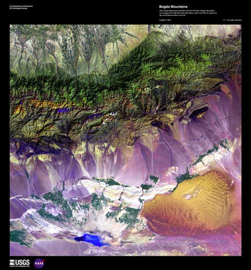
The Turpan Depression, which exists below sea level at the base of the Bodga Mountains
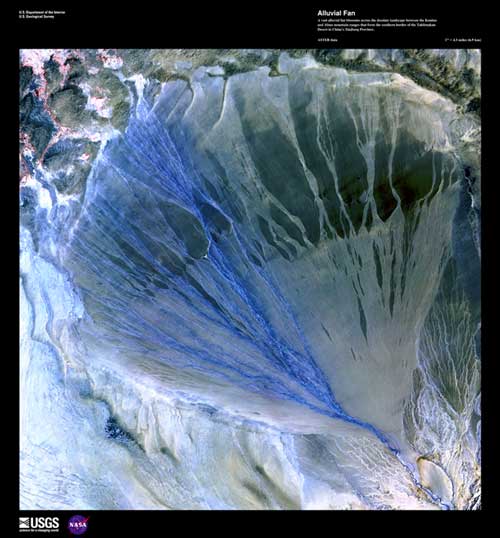
A stream from the mountains flattens and spreads in the desolate Western regions of China
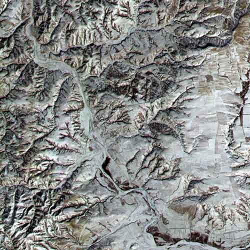
The Great Wall of China can be seen in this image. It’s the black line running from the bottom left to the top right
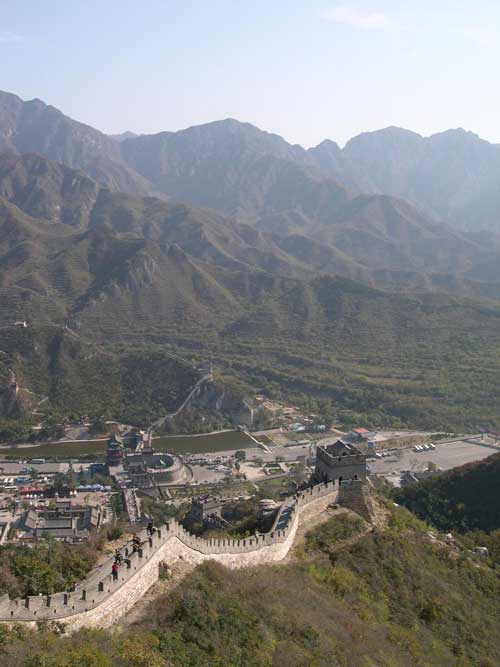
A heavily visited section of the Great Wall of China near Beijing
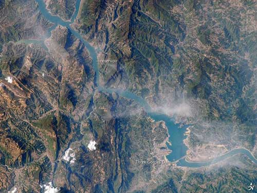
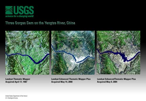
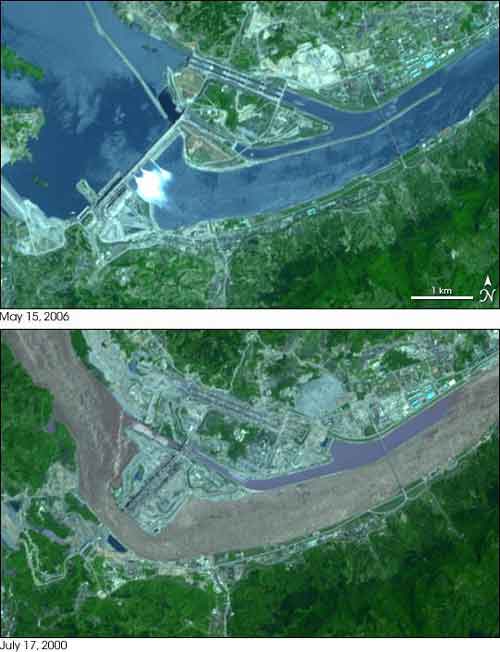
The Yangtze River and the Three Gorges Dam
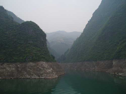
The Dragon Gate Gorge on the Daning River
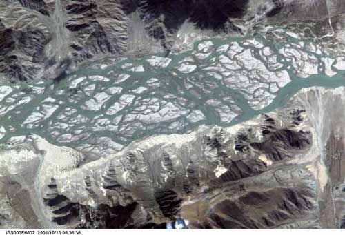
The Brahmaputra River in the Tibet region of China
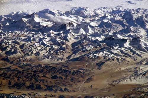
The Himalayas and the Tibetan Plateau as seen from space. Can you find Mount Everest in this image?
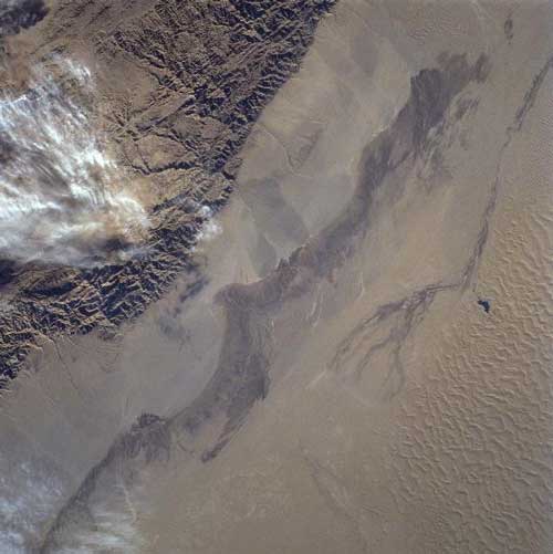
Where the Altun mountains meet the Takla Makan Desert in Western China. This is an interesting visual contrast of two physical features
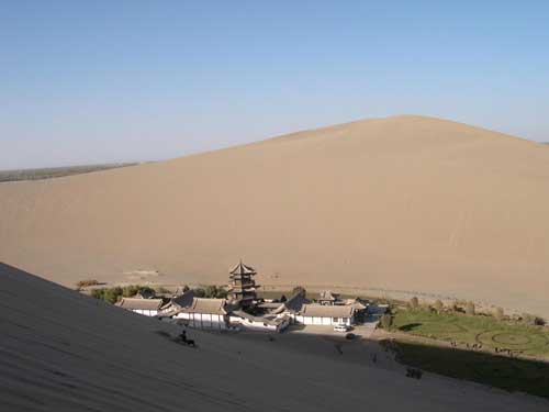
Crescent Moon Lake in West-Central China
Tiger Leaping Gorge in South-Central China closest to Myanmar/Burma
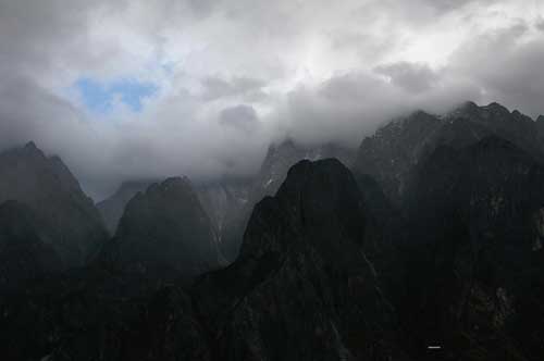
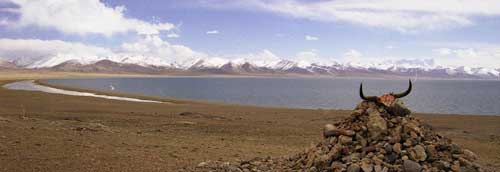
Namco Lake in Tibet
Three Gorges Dam on the Yangtze River
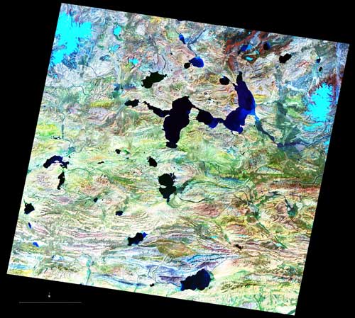
In this enhanced image of the Tibetan Plateau, red represents plant life, blue represents glaciers, and dark blue represents rivers
More imagery of the Three Gorges Dam on the Yangtze River
The Flag of China
