PHILIPPINES
Home > Countries of Asia > Philippines
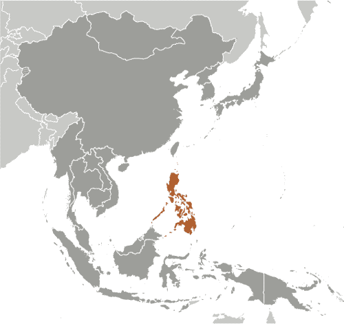
Borders: Malaysia | Indonesia
Main facts about the geography of Philippines
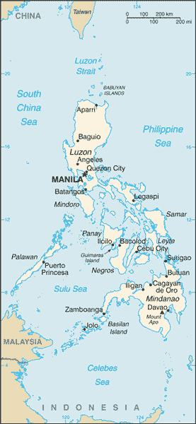
- The Philippines is a huge group of over 7,000 islands, with 11 main islands
- Only about 15% of the islands have a significant population
- The country is divided into 3 main territories: Luzon, Visayas, and Mindanao
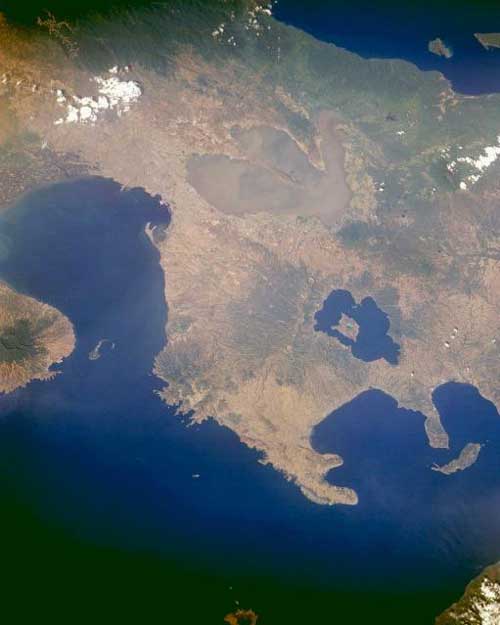
- Contains a lot of volcanic and earthquake activity
- Subject to harsh weather disasters such as typhoons
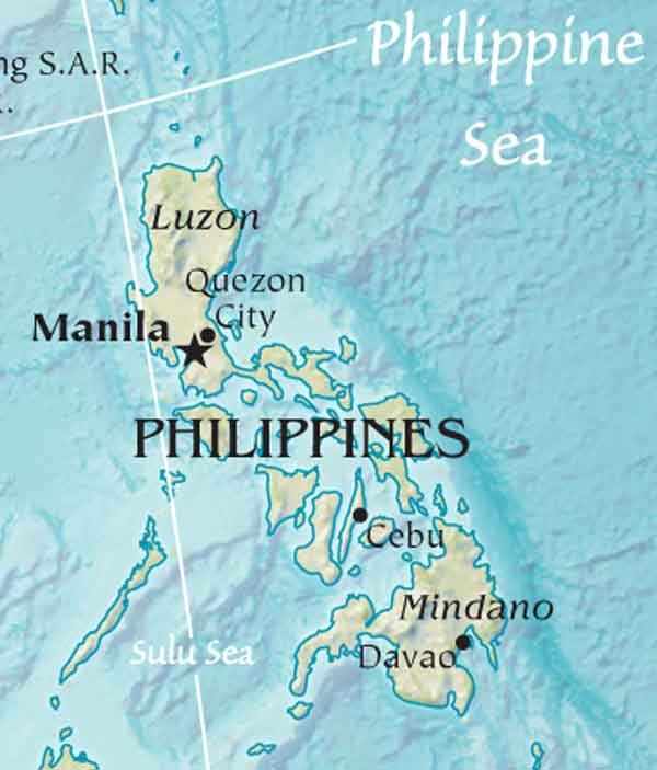
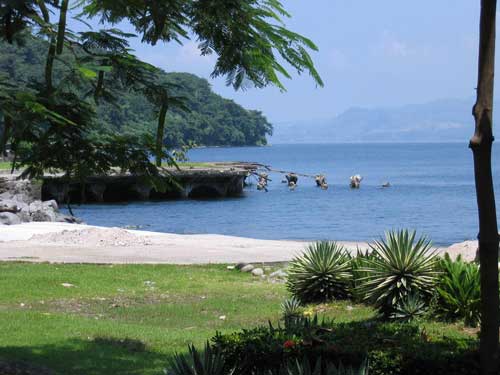
Like Japan, the Philippines is a giant system of islands, an archipelago of approximately 7,000 islands. In contrast to the 4 dominant islands of Japan, the Philippines is dominated by 11 main islands. Since all the islands are broken up by water, they all feature a tremendous amount of coastlines, many of them lined with sandy shores. Also like Japan, the islands are covered with mountains, and the highest peak is Mount Apo.
