
JAPAN
Home > Countries of Asia > Japan
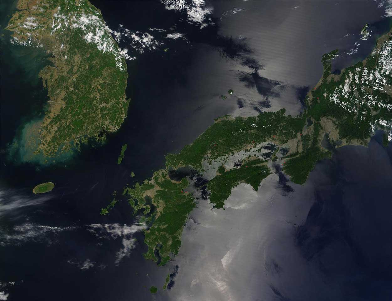
Borders: North Korea | South Korea | Russia
Main facts about the geography of Japan
- Japan is a series of islands, 4 main islands (Home Islands) and thousands other smaller islands
- The home islands are mostly mountain ranges running down the center
- Smaller amount of plains, where the population is highly concentrated
- Japan is the same general size as Germany or California
- A huge amount of volcanic activity and earthquakes
- Separated from China by the East China Sea
- Separated from the Korean Peninsula by the Sea of Japan


Considering how little amount of land there is in the Japanese Archipelago, and how much economic punch the country has mustered in the 20th century, it’s even more surprising to learn that the main islands mostly consist of mountains, with plots of flat plains few and far between. Nonetheless the culture of Japan has taken great advantage of the talents of the land, including their utilization of the water flowing from the mountains as tremendous sources of energy.
There are approximately 6,000-7,000 total islands in the system, but the main four are called:
- Hokkaidō
- Honshū
- Shikoku
- Kyūshū
Japan lies closer to the Korean Peninsula than any other points on the Asian mainland. Mount Fuji is the tallest mountain in Japan, while Mount Kita is the tallest point in the Japanese Alps range.


