Physical Map of Asia – Maps, Images, and Vetted Resources for Educators
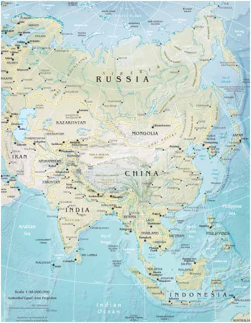
 The scope and scale of the continent of Asia is truly amazing, especially to those who are seeing the grand details of the geography for the first time. The continent somehow manages to be a giant intimidating mass of potential teeming with growth, and at the same time a diverse kaleidoscope fractured enough to be broken down and segmented into thousands of tiny pieces holding a distinct geographic, environmental, and human culture within its fragile, and often disputed, boundaries. Three oceans flank the Northern, Southern, and Eastern sides. Coming clockwise around the entire continent you first find the economically prosperous Eastern coastline. Continuing clockwise you find a large group of islands lay to the far southeast of the landmass. As we keep traveling right to left there are three big offshoots of land jutting out from the core, forming the Malay, Indian, and Arabian peninsulas. Continuing around the clock, the Middle East and Southwest Asia turn into the plains of the Northwest and come back around to the top barren regions of Siberian Russia. The central area is dominated by the physical presence of China and Russia.
So, welcome to our collection of maps, pictures and writing about Asian physical geography. We update the site daily with new, vetted information, so come read for a while and discover everything about the most influential area in the World. We try to write factual and compelling descriptions of the various physical features and share the best images on the web for your consumption and enjoyment. We hope your experience interacting with the content here delivers the info with the same beauty and grace that Asia delivers her amazing environment…
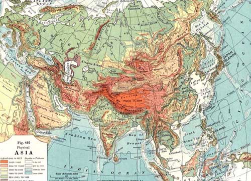
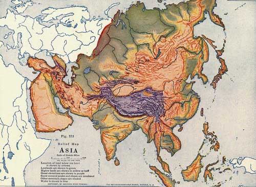
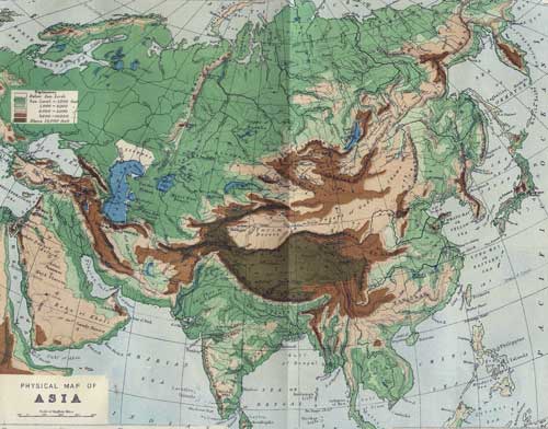
Here’s an interesting physical map of Asia originally published in 1920


